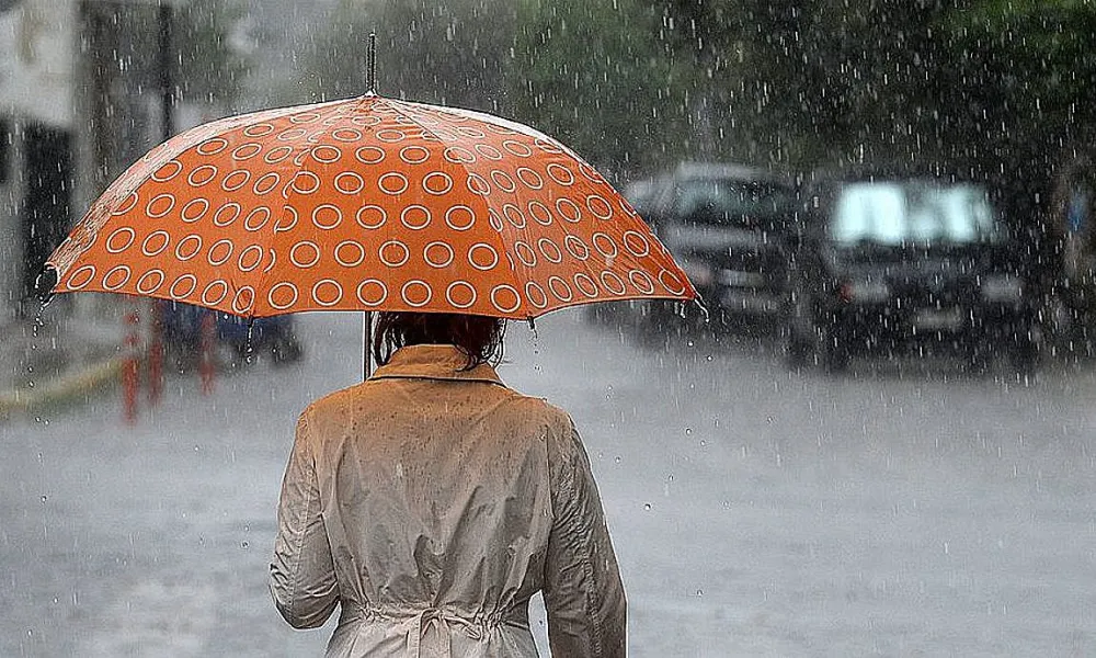
After a mild and sunny weekend, the weather is set to shift again this week, bringing low pressure, local showers and thunderstorms through to the weekend.
Following a weekend that felt almost like spring, with sunshine and temperatures reminiscent of early April, autumn is returning in full force. The Meteorological Service warns of a noticeable drop in temperature, cloudier skies, rain and local thunderstorms from Wednesday onwards.
Starting this afternoon and becoming more evident tomorrow, the atmosphere will turn cooler and more humid. Temperatures, which in recent days reached up to 28°C, will gradually fall, to around 24-25°C inland, 22-23°C along the coasts and below 15°C in the mountains. Those who were still out in short sleeves may now need their jackets again, as the Meteorological Department forecasts a significant temperature drop.
Clouds and showers
A weak low-pressure system is affecting the region. Today, locally increased cloud cover will be observed at intervals, expected to bring isolated showers mainly in the east during midday hours.
Winds will blow mainly southwesterly to northwesterly, light to moderate, 3 to 4 Beaufort, and occasionally strong, 4 to 5 Beaufort, in windward areas. The sea will be generally slight to moderately rough.
Temperatures will rise to around 26°C inland, at the southern and eastern coasts, around 24°C at the western and northern coasts, and 19°C in the higher mountains. Tonight, locally increased cloud cover will persist at intervals. Winds will shift mainly northwesterly to northeasterly, light and occasionally moderate, 3 to 4 Beaufort, with the sea remaining slightly to moderately rough. Overnight temperatures will drop to 14°C inland, around 16°C along the coast and 9°C in the higher mountains.
From Wednesday through Friday, the weather will be mostly cloudy at times, with local showers and isolated thunderstorms expected. Temperatures will continue to fall gradually and noticeably, returning to near the seasonal averages for this time of year.