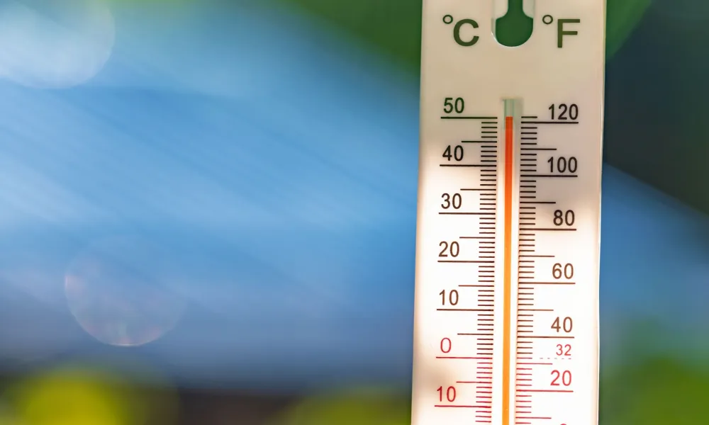

Temperatures are expected to reach 44°C inland on Thursday, before beginning a noticeable but short-lived decline over the coming days.
Speaking to Politis FM, meteorologist Michalis Mouskos said official temperatures are always recorded in the shade, meaning people exposed to direct sunlight, particularly near buildings, roads and pavements that radiate heat, experience significantly higher heat stress.
According to Mouskos, when the official temperature reaches 44°C, conditions for someone standing in direct sunlight or in a densely built-up area can feel closer to 47°C to 50°C.
Weekend relief on the way
The good news, he said, is that temperatures are expected to fall significantly from Friday.
Inland temperatures are forecast to drop to around 39°C, a decline of roughly five degrees, while coastal areas are expected to see temperatures fall by about three degrees.
The cooling trend is expected to continue through the weekend, with temperatures inland hovering near 36°C, slightly below the seasonal average for late July.
Mouskos noted that the average maximum temperature for the hottest period of the year, from late July to early August, is around 38°C inland, while coastal temperatures typically range between 31°C and 33°C.
The drop from 44°C to around 36°C will provide a welcome break, though it does not signal an end to the summer heat.
40°C-plus temperatures set to return
The meteorologist noted that June was relatively mild and that much of July passed without prolonged periods of extreme heat.
That pattern is expected to change again next week.
Temperatures are forecast to begin rising from Monday, 27 July, reaching around 38°C inland.
A stronger increase is expected from Tuesday, 28 July, with temperatures once again climbing above 40°C and potentially reaching 41°C to 42°C.
Current forecasts suggest the next hot spell could persist for four to five days, at least until the following Friday or Saturday.
"We'll get some relief over the weekend, but from Tuesday onwards it appears we'll once again be above 40°C," Mouskos said.
Orange warning remains in effect
An orange weather warning remains in force due to the exceptionally high temperatures.
According to Mouskos, an orange warning indicates dangerous weather conditions and requires the public to take precautionary measures. While serious, it falls short of the highest-level red warning.
Under existing regulations and guidance issued by the Department of Labour Inspection, periods covered by an orange warning can result in restrictions on moderate and heavy outdoor work, as well as certain delivery services.
During a red warning, such restrictions apply for the entire duration of the alert.
Mouskos added that relatively low humidity levels inland have helped reduce discomfort to some extent, despite overnight temperatures in certain areas remaining above 28°C.
Red wildfire alert continues
Meanwhile, the Department of Forests said the risk of forest fires will remain at red alert level on Friday.
Authorities urged the public to exercise extreme caution and avoid any activity that could spark a fire.
Anyone who notices smoke or fire is asked to immediately call 1407 (Department of Forests) or 112 (Fire Service).