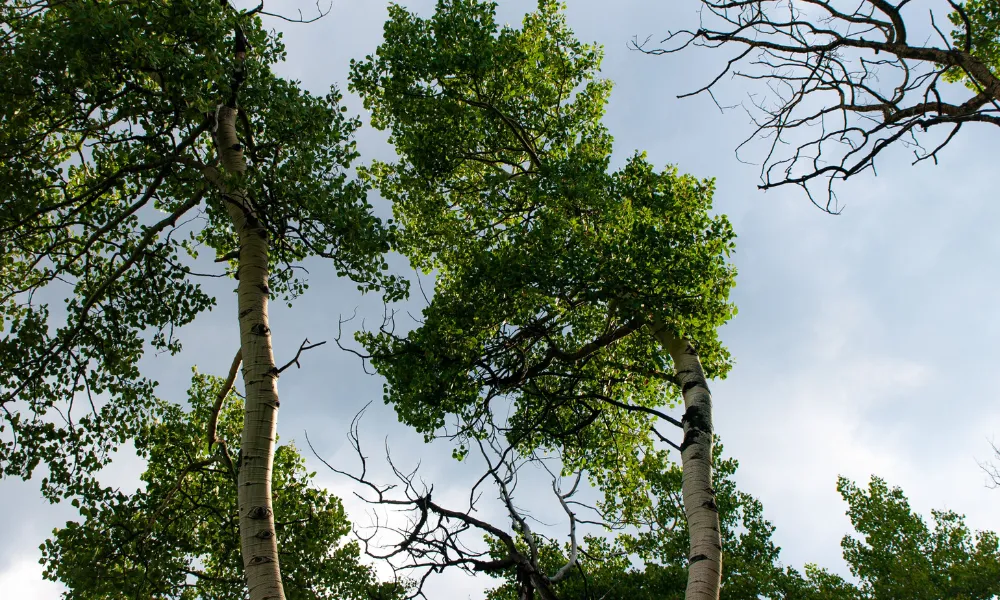

Every year, volunteers, schools and municipalities plant saplings across Cyprus, and every year the same question goes unanswered once the shovels are put away: did those trees survive? A new platform being piloted in Nicosia sets out to answer it, giving both the authorities and residents a single, continuously updated record of where the city's trees stand, what they are and how they are doing.
The Cyprus Trees Initiative, developed by the CYENS Centre of Excellence with the Nicosia Municipality and seed funding from GRAWE Cyprus, brings urban trees, new plantings and tree-planting drives together on one interactive map.
Why Cyprus needed a tree register
As Cypriot summers grow hotter and tree-planting campaigns multiply, a basic question has become surprisingly hard to answer: how many trees do the island's towns and cities actually have?
Until now, information on urban trees has typically been scattered across departments, spreadsheets and paper records. The initiative is built on a simple premise: that information belongs in one place, organised geographically and kept up to date over time. Nicosia is the first testing ground.
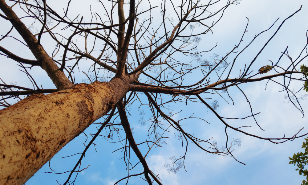
"Cyprus Trees is not just another tree-planting campaign. It is the first organised digital platform in Cyprus that records, maps and monitors every tree, from planting through to its survival and maintenance," said Dr Vasos Vasiliou of the CYENS Centre of Excellence.
What you can see on the map
At the heart of the platform is an interactive map showing recorded trees, new plantings and organised planting drives. Select a tree and the platform displays its species, planting date, condition and health, along with measurements such as height, trunk diameter and canopy width where these are available.
Users can explore the data area by area, which means a resident can look at the trees on their own street or in their local park rather than scrolling through citywide figures.
Following a planting drive long after the event
This is where the platform becomes genuinely useful. Each newly planted tree is linked to the specific planting drive it was part of, so the progress of a campaign can be followed long after the photographs have been taken and the volunteers have gone home.
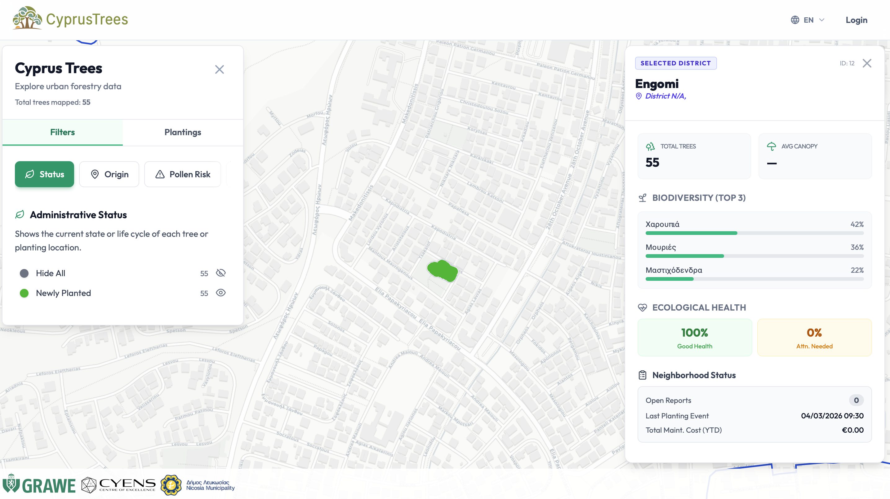
For anyone who has ever taken part in a planting day and wondered what became of their sapling, that link turns a one-off gesture into something that can be checked, followed and, where needed, acted on.
The platform also allows new trees to be registered, planting drives to be logged and photographs to be attached to individual trees. Issues, health updates and maintenance records can be added over time, building a full digital history of each tree throughout its life.
How residents can take part
Access depends on the user's role. The general public can browse the map and view available information on trees and green initiatives without signing up.
Registered citizens can play a more active part, submitting reports, photographs or new information. These submissions go through a review and validation process before they enter the register, which means residents' contributions feed into the same record the authorities rely on, while the data itself remains checked and reliable.
Authorised staff and administrators have additional tools to enter, update, check and approve data and to manage planting drives, with each function controlled through a system of roles and permissions.
From a map to a planning tool
Beyond the map, the platform is intended to give decision-makers a clearer picture of greenery neighbourhood by neighbourhood. The data can be used for statistical analysis, reports and exports, helping to identify which areas are well covered and which are lacking, and supporting the planning of future interventions.

"Greenery is not decoration; it is infrastructure. And infrastructure requires data, planning and transparency," said Nicosia Mayor Charalambos Prountzos.
An unusual partnership
The initiative brings together partners who rarely work on the same problem. The Nicosia Municipality, which manages the capital's trees and planting programmes, contributes its operational knowledge and hosts the pilot. GRAWE Cyprus has provided seed funding, an example of private-sector backing for public-interest digital infrastructure. Citizens contribute directly through validated reports and photographs.
Connecting them is the CYENS Centre of Excellence, which has used research and innovation to turn a shared concern for urban greenery into a working tool that each side can both use and contribute to.
"When technology, local government and responsible business work together, the result is real change," said Panayiotis Panayiotou of GRAWE Cyprus.
What comes next
The platform has been designed as expandable infrastructure. Planned developments include richer data on existing and new trees, environmental indicators such as estimated CO₂ absorption, shade coverage and irrigation needs, wider crowdsourcing and more advanced analysis tools.
In the longer term, the team foresees the use of aerial photography and satellite data, automated tree recognition and classification, and integration with the iNicosia Digital Twin, a digital model of the city.
Over time, the same infrastructure could be extended to other Cypriot towns and to other elements of urban green infrastructure, creating a tool for monitoring and planning the urban environment across Cyprus.
The platform can be explored at cyprustrees.cyens.org.cy.