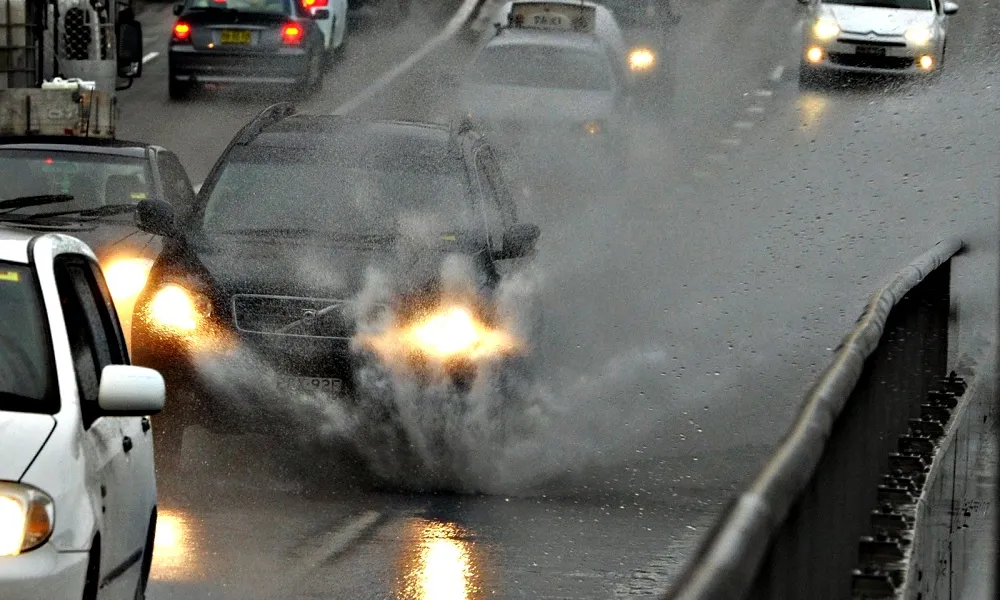
The Byron Depression has imposed its water 'poetry' upon us over the past few days, unleashing peak rainfall that shattered the dry spell on the island, but allso causing damage and extensive flooding in certain areas.
The low pressure system will persist with more severe storms and heavy showers overnight and in the early hours tomorrow (Wednesday) according to the Met Office forecast, leading to an orange warning update.
As Met Service official Michalis Mouskos told Politis Radio, the second highest alerness level was set at 1900 this evening and will run through to 0500 in the morning, mostly affecting eastern and northern areas, as well as the mountains.
The risk of flooding, fierce storms and prolonged rainfall will rise significantly.
'We're taking it a step higher,' Mouskos said, adding that there will be slight improvement to conditions from Wednesday noon onwards, but yet another warning is not ruled out, as more storms and hail are expected intermittently through to Friday.
Happiest in the forecast are expected snowfalls, or rather a very likely possibility, on the highest reaches of Troodos, with sleet on most of the mountainous regions.
Tempests go their Byron way on Friday, with temperatures rising to 18 degrees Celsius inland and 20 along the coasts.