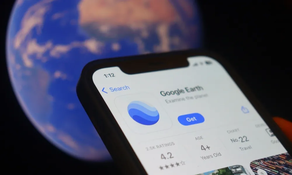
Google Earth has brought its flight simulator to the web, allowing users to explore the planet from above directly through their browser.
The feature, launched on June 12, gives users the chance to pilot a virtual aircraft across Google Earth’s global map, using the platform’s familiar satellite imagery and 3D buildings where available. It is designed as an accessible tool for casual users, not as a professional aviation simulator.
Google Earth has offered a flight simulator before through its desktop application, Google Earth Pro. The difference now is that users no longer need to download the software to try it. The new version can be opened from the browser by going to Google Earth, selecting Explore Earth, opening the Tools menu and choosing Flight simulator.
Prepare for takeoff. ✈️ Flight simulator is now available globally on web to all users. https://t.co/jV5ZW7BZeW
— Google Earth (@googleearth) June 12, 2026
We've recently added many our most powerful professional desktop features to web. Elevation profiles, new import types, but there's always been one other feature… pic.twitter.com/s11NDaCx60
The idea is simple, but flying smoothly is not as easy as it first appears. Users can control speed, altitude and direction, while keyboard shortcuts allow them to turn, roll and adjust the aircraft as they move across the map. Google also provides a list of controls through its developer guidance for anyone who wants to get beyond basic flying.
Part of the appeal is the freedom to choose where to go. Users can fly over major cities, coastlines, mountains or familiar neighbourhoods, turning Google Earth into something closer to an interactive aerial tour of the world.
The simulator remains forgiving. Losing control does not bring up dramatic crash scenes or failure screens. Instead, the flight pauses and users can restart, keeping the experience relaxed and easy to return to.
It may not replace dedicated flight simulation platforms, but it gives Google Earth a playful new use: a free, browser-based way to see the planet from a pilot’s view.
With information from Euronews