
The Cyprus Department of Meteorology has issued a yellow warning for strong to gale-force winds on Friday, January 9. The warning will be in effect from 8:00 a.m. until 10:00 p.m.
In a post on X, the Department said a cold air mass combined with a significantly strengthened wind field is expected to affect the island over the coming hours.
According to the forecast, very strong to gale-force southwesterly to northwesterly winds of 6 to 7 Beaufort are expected, locally reaching 7 Beaufort. Wind gusts may intensify further, reaching up to 8 Beaufort in exposed areas.
Authorities urge the public to exercise caution, particularly in coastal and elevated regions, where conditions may become hazardous during the warning period.
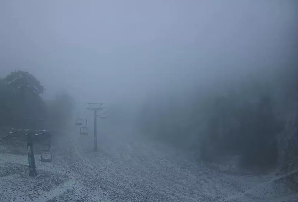
Dense Fog and Rockfalls in Mountain Areas, Roads Affected
According to the police, dense fog currently prevails on the peaks of Troodos, while roads in the area have become slippery and dangerous. Following light snowfall recorded last night on the Troodos peaks, rock and stone falls have occurred on several roads in the region.
The police said that visibility is limited due to thick fog and that road conditions remain hazardous.
The Cyprus Police is advising motorists travelling on the mountain road network to exercise particular caution, drive at low speeds, maintain a safe distance from vehicles ahead, and keep their headlights switched on at all times.
Strong to Gale-Force Winds in Paphos, Pilots Notified
Strong winds, reaching up to 8 Beaufort, have been affecting the Paphos district since late last night and continued into Friday morning, creating difficult conditions, particularly in open and coastal areas, according to meteorological officer Andreas Chrysanthou.
Speaking on state radio, Chrysanthou said that aeronautical warnings have been issued and pilots operating flights to and from Paphos Airport have been informed of the adverse weather conditions, so that the necessary safety measures can be taken during take-offs and landings.
So far, no flight disruptions have been reported. However, the competent authorities remain on heightened alert and are closely monitoring developments.
Weather outlook
A low-pressure system, a cold air mass and a significantly enhanced wind field are affecting the region.
Today, the weather will be mostly cloudy with local rain and isolated thunderstorms. Hail is possible during storms, while snowfall is expected over the highest mountain areas. Winds will blow south-westerly to north-westerly, initially strong to very strong at 5 to 6 Beaufort, strengthening further to very strong to gale-force, 6 to 7 Beaufort, with stormy gusts up to 8 Beaufort. The sea will be rough to very rough in most coastal areas and temporarily stormy in western and northern waters. Temperatures will drop to around 15°C inland and along the western and northern coasts, around 17°C on the southern and eastern coasts, and around 3°C in the highest mountains.
Tonight, increased cloud cover is expected, with the weather turning mainly cloudy and bringing isolated rain, mainly in western and northern areas. Snowfall is possible in the highest mountains. Winds will gradually ease from strong to very strong, 5 to 6 Beaufort, becoming light to moderate at 3 to 4 Beaufort, and locally moderate to strong at 4 to 5 Beaufort. The sea will gradually become rough in the west and north and rough to moderate in the south and east. Temperatures will fall to around 6°C inland, around 10°C along the south-western, western and northern coasts, around 8°C on the south-eastern and eastern coasts, and around minus 2°C in the highest mountain areas, where frost is expected to form locally.
Weekend outlook
On Saturday, Sunday and Monday, the weather will be intermittently mostly cloudy, with local rain and isolated thunderstorms. Hail may occur during storms, while snowfall is expected in the highest mountain areas. Winds will remain significantly enhanced at times, particularly along the coasts.
Temperatures will rise on Saturday, show no significant change on Sunday and remain above seasonal averages, before dropping again on Monday to near or slightly below average climatological levels.