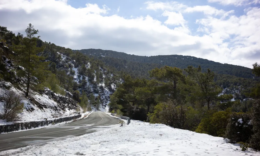
Weather conditions remain unsettled as a weak low‑pressure system continues to influence the area, with dust occasionally suspended in the atmosphere. Local showers and isolated thunderstorms are expected, mainly in the western half of the island. Winds will strengthen significantly, especially along the coast, while the highest peaks of Troodos are forecast to receive snow or sleet. Winter conditions in the mountains are set to persist over the coming days.
According to the Department of Meteorology, temperatures today Thursday, will reach 18°C inland, around 19°C on the coasts and about 7°C in the higher mountains.
Throughout the day, skies will be partly to mostly cloudy with periods of local rainfall and the possibility of isolated storms. Snow or sleet is expected on the highest Troodos peaks. Winds will gradually shift to southerly directions and strengthen, becoming moderate to strong and locally very strong later in the day. Seas will range from slightly rough to rough, becoming rougher in the west and south by afternoon.
Tonight, cloud cover will increase with local showers and possibly isolated thunderstorms. Snow or sleet is expected again on the highest mountain areas. Southerly winds will strengthen further, becoming strong to very strong in coastal and mountainous regions. Temperatures will drop to around 11°C inland, 15°C on the coasts and 4°C in the higher mountains, where frost may form in sheltered areas.
On Friday and Saturday, the weather will remain mostly cloudy with local showers and isolated storms. Hail is possible during thunderstorms, and snow is expected on the highest Troodos peaks. Winds will remain significantly strengthened, particularly along the coast.
On Sunday, skies will be partly cloudy, becoming mostly cloudy later with isolated showers. Local showers or isolated storms are expected at night.
Temperatures will rise slightly on Friday and remain stable through Sunday, staying above the seasonal average. Snow depth at Mount Olympus (Chionistra) at the time of the bulletin was 23 centimetres.