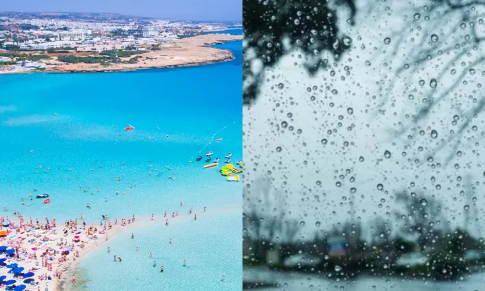
A seasonal low-pressure system is affecting the region, with unstable weather conditions expected from Friday.
Today, the weather across most parts of the island will be mainly clear with occasional cloud. However, from midday onwards, clouds developing over mountainous areas may bring isolated showers. Winds will blow mainly south-westerly to north-westerly, initially light to moderate at 3 to 4 Beaufort, gradually becoming moderate to strong and locally strong at 4 to 5 Beaufort by the afternoon, especially along the coast. The sea will be generally calm to slightly rough, becoming slightly rough at times on windward coasts later in the day.
Temperatures will rise to around 36°C inland, about 28°C on the west coast, around 32°C on the remaining coasts and around 25°C in the higher mountainous areas.
Tonight, the weather will remain mostly clear, although locally increased low cloud is expected, particularly along the coasts. Later, during the early morning hours, light mist or fog may form in some areas, especially inland and in the east. Winds will initially be south-westerly to north-westerly, light and locally moderate at 3 to 4 Beaufort, later becoming light and variable. The sea will remain calm to slightly rough. Temperatures will drop to around 20°C inland and along the coasts, and to around 15°C in the higher mountainous areas.
On Friday, Saturday and Sunday, the weather will be mainly clear with periods of cloud, but from midday onwards, clouds are expected to develop and bring isolated showers and thunderstorms, mainly over inland and mountainous areas.
Temperatures will gradually fall until Saturday, followed by a slight rise on Sunday, remaining close to average seasonal levels.