Meteorological conditions are expected to shift gradually from stable weather today to more unsettled conditions from Thursday onwards.
Mainly clear today with mild temperatures
A weak high-pressure system is currently affecting the region. Today the weather will be mostly clear, although periods of locally increased cloud cover are expected. Winds will blow mainly from the northeast to east, weak to moderate at 3 to 4 Beaufort and locally moderate to strong at 4 to 5 Beaufort.
The sea will be slightly rough in the west and up to rough along the remaining coasts. Temperatures will reach around 20°C inland, 21°C along the coast and 8°C in the higher mountains.
Cooler night with possible frost in the mountains
Tonight, intervals of increased high cloud will be observed. Winds will blow mainly from the north to northeast at 3 to 4 Beaufort, locally reaching 4 to 5 Beaufort. The sea will remain slightly rough and locally rough on windward coasts.
Temperatures will fall to around 6°C inland, 10°C on the coast and 2°C on the highest mountain peaks, where local frost is expected to form.
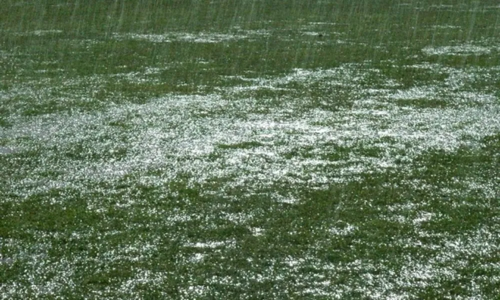
Rain expected from Thursday, snow possible in Troodos
On Thursday and Friday the weather will become partly cloudy to mostly cloudy, with isolated showers possible during midday hours, mainly in mountainous areas. Snow or sleet cannot be ruled out on the highest peaks of the Troodos range. On Saturday, the weather is expected to remain mostly cloudy, with localised rain showers at intervals.
Temperatures are expected to remain slightly above seasonal averages until Friday, before dropping slightly on Saturday.