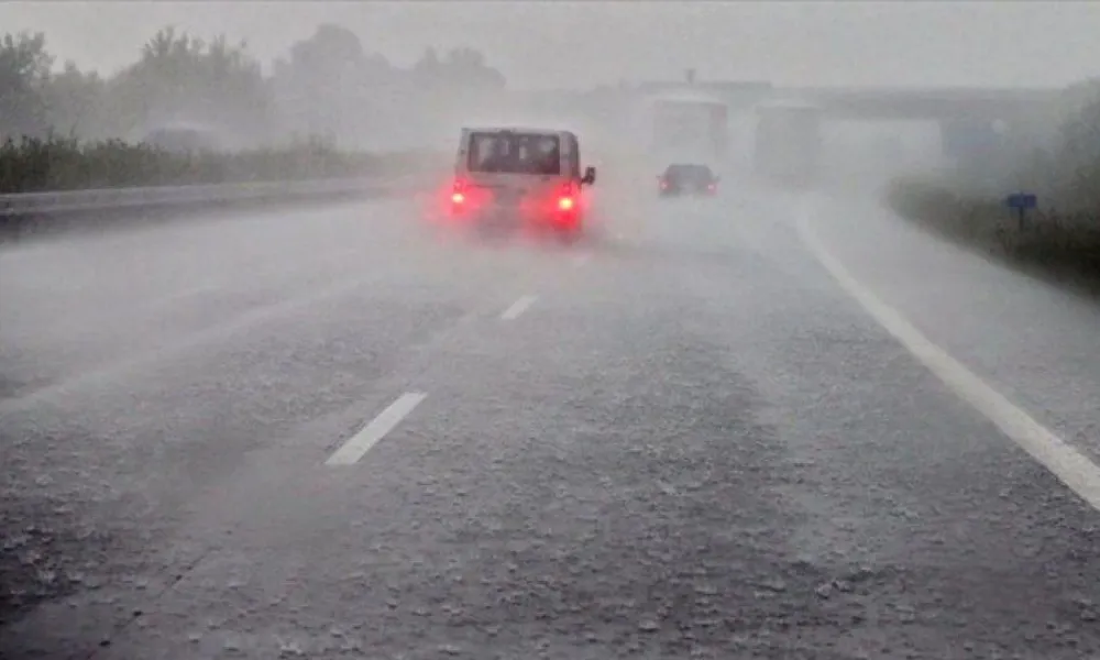
Severe storms will persist across most of the island tomorrow as the Byron Depression is running its course and a yellow warning has been renewed, starting at five in the morning and through to six in the afternoon.
According to the met Office, heavy thunderstorms are expected to affect the island at intervals, initially along the west coast and gradually developing to the rest of the country.
Hail is possible in the areas of the storms, while winds will be variable and progressively strengthening. Precipitation is likely to range between 35 and 55 millimeters per hour in a thunderstorm.
A layer of harmful thin dust particles in relatively high concentrations, will intermittently also persist in the atmosphere.
Rain and storms are expected this evening mostly along coastal regions, with sleet or snow possible on Troodos and hail in storm areas.
Thin mist is expected inland at dawn.
Winds will be light to moderate force three to four, over moderate seas. Temperatures will drop to 10 degrees Celsius inland and in eastern coastal regions, 14 in the rest of the coastal areas and 4 on the mountains, where frost will form.
The Byron Depression continues tomorrow, bringing local showers and isolated storms and hail expected. Winds will be moderate to strong force four to five in windward regions. Powerful gusts are possible in the storm areas.
Temperatures will rise to 18 degrees Celsius inland, 20 in coastal regions and 8 on the mountains.
A similar outlook of isolated showers and storms, mainly along the coasts is expected tomorrow evening, with Cyprus remaining very much in the grip of this low pressure system through to Tuesday, as more showers, storms and hail are coming our way.
Temperatures will record a slight drop, remaining below the seasonal average.
SOURCE-DEPARTMENT OF METEOROLOGY