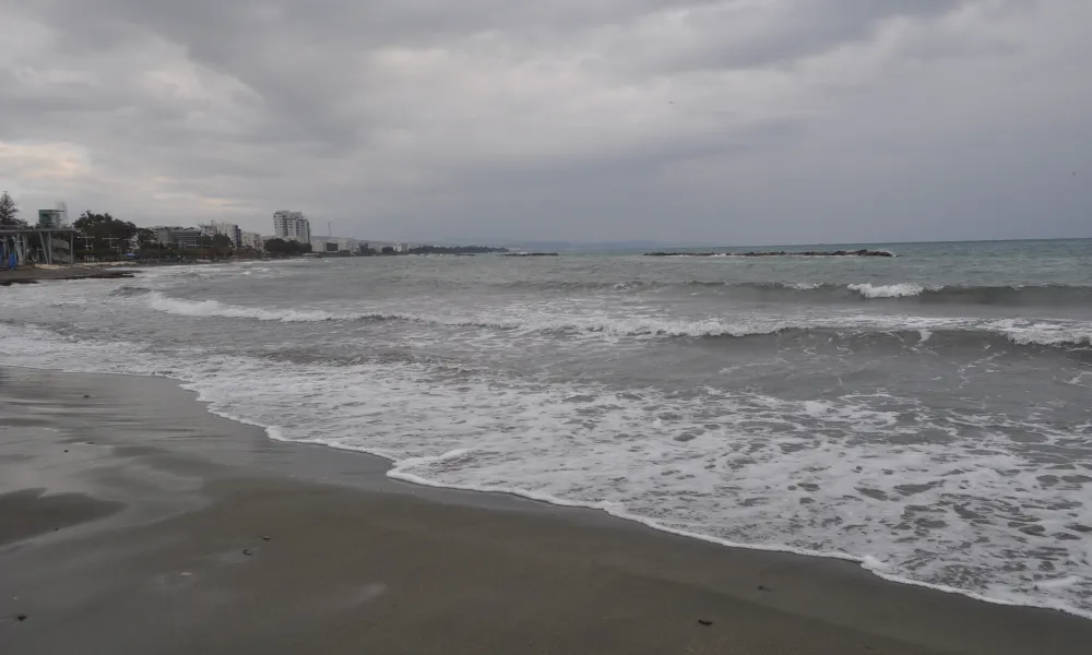

An unstable air mass is affecting Cyprus, bringing local rain and isolated storms, mainly to mountainous, inland and eastern areas. Temperatures are expected to ease slightly over the coming days, settling a little below seasonal averages. A seasonal low-pressure system combined with the unstable air mass is behind the shift in conditions.
Today's forecast
Increased cloud cover will develop at intervals throughout the day. By midday and early afternoon, clouds are expected to build further, producing local rain and isolated storms, mainly over the mountains, inland areas and the east. Hail cannot be ruled out during storms. Winds will blow mainly south-westerly to north-westerly, light to moderate at 3 to 4 Beaufort, becoming locally strong along the coast later, at 4 to 5 Beaufort. The sea will be slight to moderate. Temperatures will reach 37°C inland, 30°C on the western coast, around 34°C on the remaining coastal areas, and 26°C in the higher mountains.
Tonight
Increased low cloud is expected at intervals, with patchy fog or mist forming locally, mainly in the early morning hours. Winds will blow mainly south-westerly to north-westerly, light and locally moderate at 3 to 4 Beaufort. The sea will be slight to moderate. Temperatures will drop to 23°C inland, around 24°C on the coast, and 19°C in the higher mountains.
Sunday to Tuesday
Increased cloud is expected at intervals over the coming days, with local rain and isolated storms forecast around midday and early afternoon, mainly over the mountains, inland areas and the east. Hail is possible during storms.
Temperatures will dip slightly on Sunday, settling a little below average climatological values, while no significant change is expected on Monday or Tuesday.