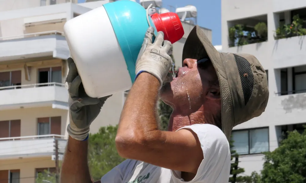

Cyprus is set to face its most intense heat of the summer so far, with temperatures expected to reach 43C inland on Wednesday and an orange weather warning for extreme heat due to be issued later on Tuesday.
Speaking to Politis Radio on Tuesday, the director of the Meteorological Department, Dr Philippos Tymvios, said the warning would be in force from noon until 6pm on Wednesday. He did not rule out a similar warning being issued for Thursday.
Temperatures are expected to rise further over the next two days. Tuesday's forecast pointed to a maximum of around 41C inland, while the highest temperature recorded by midday was 38.6C at Athalassa.
"Tomorrow we are going to 43 degrees," Tymvios said, adding that the latest forecast data appeared slightly more pessimistic regarding the intensity of the heatwave.
He noted, however, that such temperatures are not unprecedented or exceptionally rare for Cyprus in July. This period is climatologically the hottest time of the year, with average maximum temperatures of around 38C inland, 33C on the coast and 28C in the higher mountains.
Vulnerable groups, wildfires
Tymvios warned that Wednesday and Thursday were expected to be particularly difficult days for vulnerable groups and people working outdoors. He also stressed that very high temperatures significantly increase the risk of wildfires and urged the public to exercise extreme caution.
According to the Meteorological Department director, a broad preparedness meeting has already been held to coordinate the relevant services ahead of the challenging weather conditions.
Comparing the current situation with last summer's devastating wildfires, Tymvios said winds of similar intensity were not expected this time.
Last year, the extreme heat was accompanied by strong winds and gusts, a factor that contributed significantly to the rapid spread of fires. Winds are expected to strengthen mainly from Friday and over the weekend, although forecasters are not currently predicting conditions as severe as those experienced last year.
A change in the weather pattern is expected from Friday, bringing a gradual drop in temperatures, increased cloud cover and a slight chance of isolated showers or thunderstorms in mountainous areas.
Tymvios said summer rainfall is usually highly localised and is not expected to have a significant impact on either overall temperatures or water reserves.
The cooler spell could persist for several days, potentially for around 10 days, with temperatures returning close to seasonal norms.