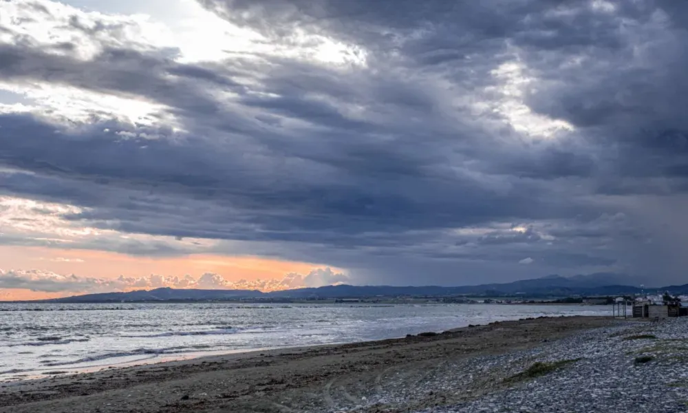

Cyprus is expected to see a brief but noticeable change in weather conditions on Saturday, with cooler temperatures, localised rain and possible thunderstorms forecast across parts of the island.
According to Meteorological Officer Mattheos Papadakis, the weather is expected to start off partly cloudy before becoming mostly cloudy as atmospheric instability develops.
Temperatures set to fall
Papadakis said a new air mass combined with increased cloud cover is expected to bring a significant drop in temperatures.
Temperatures on Saturday are forecast to fall below seasonal averages, marking a sharp contrast with the hot conditions experienced this week.
However, he stressed that the change is expected to be temporary and largely confined to Saturday.
Rain and isolated thunderstorms possible
Current forecasts indicate the possibility of:
- Localised showers
- Isolated thunderstorms
- Increased cloud cover across the island
Papadakis explained that instability will be triggered by an upper-atmosphere trough affecting the region.
He noted that such conditions are more commonly seen during September, making this spell of unsettled weather somewhat earlier than usual.
Hot weather continues until Friday
Before the weekend change, Cyprus will remain under the influence of seasonal low pressure.
Temperatures on Tuesday are expected to reach:
- 39C inland
- 35C on most coastal areas
- 32C on western and southwestern coasts
- 30C in the higher mountains
These figures remain above the seasonal average of around 36C to 37C inland for late August.
Wednesday is expected to remain mostly fine, with afternoon cloud developing mainly over mountainous areas.
Thursday and Friday will also be largely sunny, although isolated showers cannot be ruled out in the mountains during the afternoon. Temperatures are expected to ease slightly but remain above normal levels.
El Niño impact remains unclear
Asked about El Niño, Papadakis said it is too early to determine how the phenomenon may affect autumn and winter weather patterns.
He added that the drought affecting parts of Europe over the past two to three years cannot be directly linked to El Niño alone, although more extreme weather events remain possible.
"Hopefully, we will get rain because we need it," he said.
Source: CNA