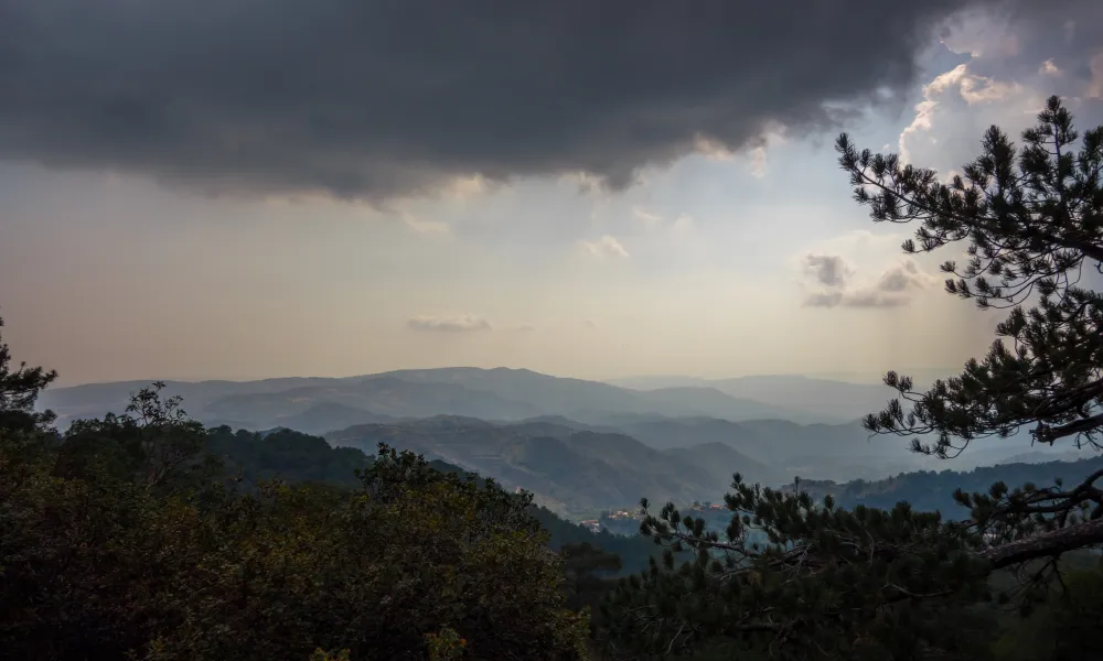

Although Cyprus is currently experiencing intense heat, the picture in the island's mountainous areas looks different, with isolated rainfall recorded on Thursday in Platres and Foini.
Footage shared by users of the Facebook page Καιρόφιλοι Κύπρου (Cyprus Weather Lovers) shows rain intermittently affecting pockets of mountainous Cyprus, creating an unusual weather picture in the middle of the heatwave. The images show rain falling in mountain areas even as sharply different conditions prevail across most of the island.
Heat to peak on Friday before Saturday's turn
According to the Meteorological Service, seasonal low pressure is currently affecting the region, with a disturbance from the north expected to reach the island on Saturday.
On Thursday afternoon, most of the island will remain mainly clear with temporary increased cloud, though clouds developing over the mountains, and possibly parts of the interior, may bring isolated rain, with a brief isolated storm not ruled out. Winds will blow southwesterly to northwesterly, light to moderate, at three to four on the Beaufort scale, with the sea mostly calm to slightly rough.
Overnight, conditions will remain mainly clear, though increased low cloud is expected at times, particularly along the coast. Patchy or more widespread fog may form locally towards dawn, mainly in southern, eastern and inland areas. Winds will blow mainly southwesterly to northwesterly, initially light to moderate at three to four Beaufort, gradually easing to three Beaufort, with the sea calm to slightly rough. Temperatures will fall to around 21C inland, 23C on the coast and 20C in the higher mountains.
On Friday, once local low cloud and patchy fog clear, most areas will become mainly clear with temporary local cloud, though from midday clouds developing over the mountains, and possibly parts of the interior, are expected to bring isolated rain and an isolated storm. Winds will be variable and light in the morning, at three Beaufort, gradually becoming mainly southwesterly to northwesterly, light to moderate at three to four Beaufort, and temporarily strong at four to five Beaufort on windward coasts in the afternoon. The sea will be mostly calm to slightly rough in the morning, becoming locally slightly rough on windward coasts in the afternoon. Temperatures will climb to around 39C inland, 32C on the western and southwestern coasts, 34C on the remaining coasts and 30C in the higher mountains.
Storms and a sharp temperature drop forecast for Saturday
On Saturday, the weather will turn mainly cloudy, with rain and local storms expected. Conditions are expected to be intense or prolonged in places. Temperatures will fall noticeably on Saturday, dropping below seasonal norms.
On Sunday, the weather will start mainly clear, though cloud will gradually increase locally, expected to bring isolated rain or a storm after midday, mainly over the mountains and areas south of Troodos. On Monday, increased local cloud is expected at intervals, with isolated rain over the mountains after midday not ruled out. Temperatures will rise slightly on Sunday, remaining at similar levels on Monday, though continuing to run below the seasonal average.