Intense complaints and protests have arisen in the Kourion municipality over plans to create a massive park covering almost two million square metres of agricultural land between the districts of Ypsonas, Trachoni, and Kolossi. The initial decisions have already been unanimously approved by the Kourion municipal council and involve a 20-year master plan starting in 2026.
The primary aim of the park is to provide flood protection for the rapidly developing Kourion area, while also enabling potential future expansion of residential zones. Officials emphasised that the final design and total area have yet to be confirmed, pending the completion of detailed studies.
Mayor outlines ambitious vision
Speaking to Politis on 11 January, Kourion Mayor Pantelis Georgiou revealed the vision for the “Kourium Central Park”, highlighting that it will include green spaces, sports and cultural facilities, recreational areas, cycle paths, artificial lakes, flood-protection measures for Aliki Akrotiriou, and a large concert square—something the mayor said Limassol currently lacks.
“The project will be delivered in phases over 30 years, with detailed plans for each stage. We estimate requiring 65,000 square metres of land expropriation annually, incorporated into municipal budgets. We will start with around 50,000 square metres and gradually expand each year to reach the target of two million square metres,” the mayor explained.
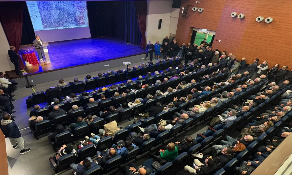
Massive meeting at town hall
Following publication of the interview, opposition intensified. A public meeting was held yesterday evening at the Kourion Town Hall, with over 300 people attending. After the two-hour discussion with the mayor, landowners formed a committee to continue negotiations with authorities.
Affected residents voiced strong disagreement with the mayor’s plan, while some councillors questioned what exactly had been approved. Many landowners criticised the large scale of the proposed project and raised concerns about inadequate compensation. Approximately 400 landowners are likely to be affected. The area was chosen because it collects runoff from two major local streams, requiring flood-control measures.
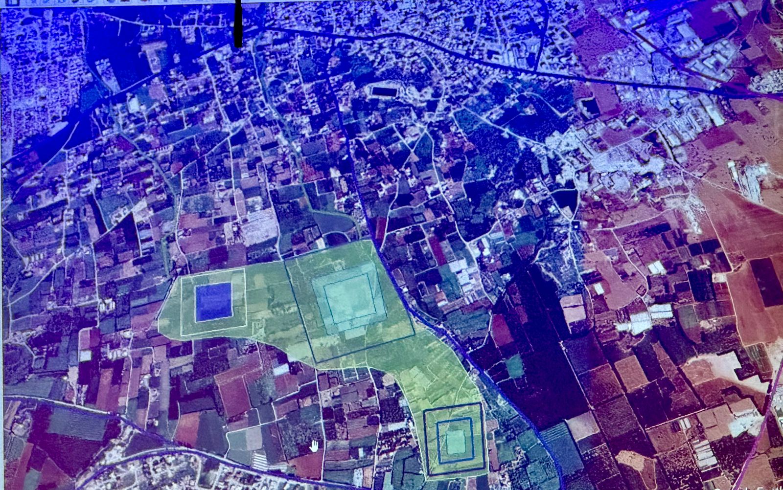
The mayor presented a preliminary map of the proposed site for the first time and repeatedly stressed that the exact location and area will be determined by ongoing studies by the Water Development Department (EOK). He said the park’s size will largely depend on the retention lakes and surrounding buffer zones, which make the project feasible. He also noted that further residential development in the wider municipality could be compromised if flood-protection works are not implemented early. The mayor assured that all legally approved homes would remain unaffected and emphasised that the land is currently classified as agricultural, leaving little scope for residential expansion.
This article was originally published on the Greek-language Politis website.