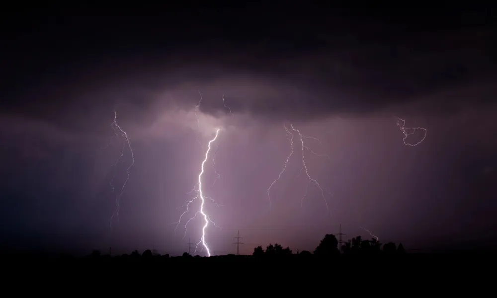
Tempests are back, albeit not nearly with the vengeance of the Byron system, but enough for the Met Office to issue a yellow warning, in place right through to eight this evening, as isolated storms are expected across most of the island, coupled by hail in certain areas.
Storms will initially affect the northern, western and southern parts of the island, with rainfall locally reached 35 millimetres, according to the forecast. This evening will see scattered showers.
The arrival of heavy showers is due to a low pressure system once again affecting the Eastern Meditteranean, with harmful particles of dust back in the atmosphere at intervals.
Tonight winds will be light northeasterly to southeasterly force three over calm to slight seas, temperatures dropping to 11 degrees Celsius inland, 13 in coastal regions and 7 on the mountains.
Local showers and isolated storms will continue tomorrow, initially in the western half of the island, with the possibility of hail. Winds will be light to moderate mainly northeasterly to southeasterly, force three to four, turning strong force four to five in some regions and variably strengthening in storm areas.
Seas will be slight to moderate with temperatures rising to 19 degrees Celsius inland and in coastal regions and 11 on the mountains.
Isolated showers will continue tomorrow evening, mostly along the coast, with Christmas week being slightly more Christmasy, bringing showers and possibly sleet or snow on Troodos, at least on Monday and Tuesday, with overcast skies on the eve.
Temperatures remain over the seasonal average.