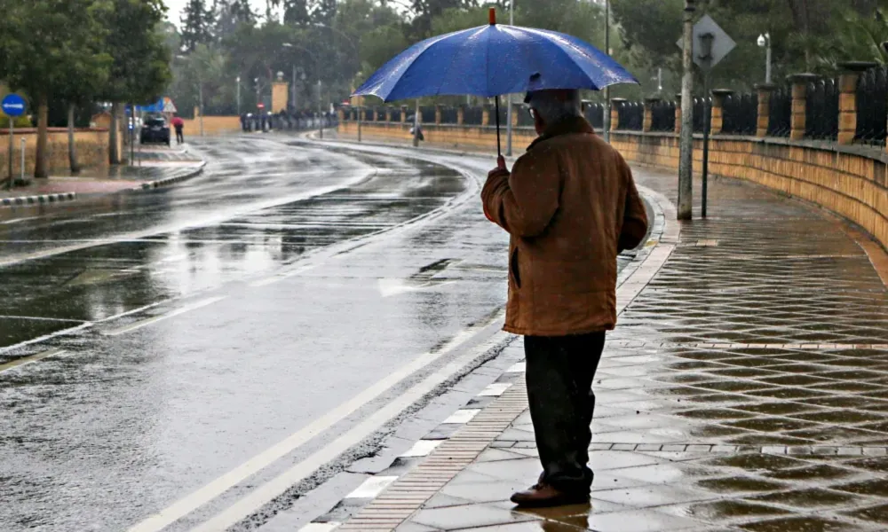

Isolated showers and thunderstorms are expected today, mainly over inland and mountainous areas, while temperatures will reach 35C. From Thursday, the unstable air mass affecting the region will begin to retreat, bringing improved weather conditions and a noticeable rise in temperatures above seasonal averages.
According to the Meteorological Department, today will be mostly clear at first, but cloud development around midday and early afternoon is expected to trigger isolated showers and thunderstorms in mountainous and inland areas.
Temperatures are forecast to reach:
- 35C inland
- Around 31C on the west and southwest coasts
- Around 32C on the remaining coastal areas
- 25C in the higher mountains
Winds will initially be variable and light at 3 Beaufort, becoming mainly southwesterly to northwesterly at 3 to 4 Beaufort, and locally 4 to 5 Beaufort on windward coasts.
The sea will be slight to a little rough.
Tonight, conditions will be mostly clear, although increased cloud cover is expected at times across the western half of the island.
Temperatures will fall to:
- 22C inland
- Around 23C on the coast
- 15C in the higher mountains
Warmer Weather From Thursday
Thursday, Friday and Saturday are expected to be mostly clear.
The Meteorological Department said temperatures will rise gradually and noticeably through Friday before remaining largely unchanged on Saturday, with values expected to remain above seasonal averages.