A weak high‑pressure system is currently affecting the area, but the barometric low ERMINIO, centred over Sicily, is moving eastwards and is expected to influence the wider region from Wednesday, noticeably altering the weather pattern.
Local showers and isolated thunderstorms are forecast through Thursday afternoon, while dust will appear in the atmosphere at intervals. Temperatures will rise before dipping slightly on Friday.
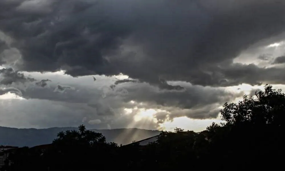
Detailed weather report
Today, the weather will start off mostly clear, although temporarily increased cloud cover will be observed mainly in the west and north.
Gradually, the weather will turn partly cloudy and locally mostly cloudy, with the possibility of isolated showers, particularly in the mountains. Winds will be mainly south‑westerly to westerly, light to moderate, 3 to 4 Beaufort. The sea will gradually become calm to slight, and slight in the west. Temperatures will reach around 21°C inland and on the south‑eastern coast, around 20°C on the remaining coasts, and around 10°C in the higher mountains.
Tonight, periods of increased cloud cover are expected. Winds will be mainly north‑westerly to north‑easterly, light at 3 Beaufort, and the sea will be calm to slight. Temperatures will drop to around 7°C inland, 11°C on the west coast, 9°C on the other coasts and about 4°C in the higher mountains.
On Wednesday, the weather will become cloudy, and through Thursday afternoon, local showers and isolated thunderstorms are expected, with dust in the atmosphere at intervals. On Friday, temporarily increased cloud will be observed.
Temperatures will rise through Thursday and fall slightly on Friday, remaining close to seasonal averages.
The snow depth at Mount Chionistra at the time of the bulletin’s issuance was 1 centimetre.