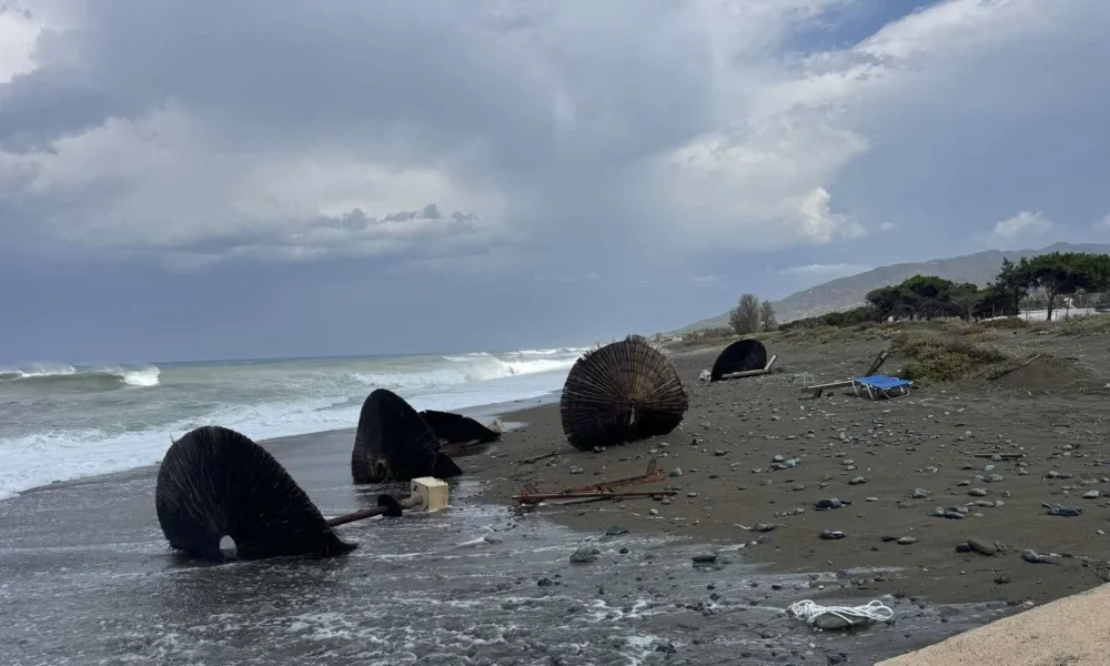

Severe weather affecting Cyprus is expected to continue until Saturday evening, with the possibility of waterspouts still present, according to the Department of Meteorology.
Meteorological officer Panayiotis Georgiou said atmospheric instability would remain in place until around 6 pm, sustaining the risk of intense weather conditions across the island.
He noted that waterspouts had already been recorded off the coast of Larnaca and warned that more could not be ruled out.
"In an area of intense instability, there is also this possibility, for waterspouts," he said.
Most of Cyprus affected
Asked which areas had been affected, Georgiou said the weather system had impacted almost the entire island.
Heavy rainfall was recorded in inland areas, mountainous regions, northern parts of the island and the Kato Pyrgos area.
"The area that has not been affected much is the area north of the city of Paphos, but locally there is some activity," he said.
While conditions have already weakened in some locations, severe weather remains active elsewhere.
"The phenomena are moving eastwards, gradually moving eastwards. By the afternoon they will be east of Cyprus," Georgiou said.
Temperatures 10 degrees below average
The weather system has also brought a sharp drop in temperatures.
Georgiou said temperatures on Saturday were around 10 degrees Celsius below normal for the time of year, with readings near 27C compared with average late-August temperatures of about 36C to 37C.
Temperatures are expected to begin rising gradually from Sunday and should return close to seasonal averages by Wednesday.
According to Georgiou, the severe weather and significant cooling were caused by an organised weather disturbance that arrived from the north.
Conditions expected to ease from Sunday
The meteorological officer said the current severe weather is expected to be confined to Saturday.
From Sunday through Wednesday, there remains a possibility of isolated showers, mainly over mountainous areas, as well as a slight chance of isolated thunderstorms.
He stressed, however, that weather conditions comparable to Saturday's severe storms are not expected over the coming days.