
Sea surface temperatures in the tropical eastern Pacific could reach levels unseen in modern climate records as this year’s weather pattern intensifies, according to Britain’s national weather service. The prolonged warming is expected to disrupt rainfall patterns, raise global temperatures and affect food security.
How El Niño develops
El Niño is declared when sea temperatures in the tropical eastern Pacific rise by 0.5°C above the baseline average.
The phenomenon causes global changes in winds, atmospheric pressure and rainfall patterns, while contributing to higher temperatures worldwide.
Temperatures could exceed 3°C
Adam Scaife, head of long-range forecasting at the UK Met Office, told the BBC that the phenomenon could reach unprecedented levels.
“We are expecting the biggest El Niño for more than a century, peaking at just over three degrees, which is unheard of in modern climate records,” he said.
He described it as “an unprecedented event”.
Severe droughts expected
Scaife said the unusual warming had already reached almost 2°C and would have particularly severe effects across the tropics.
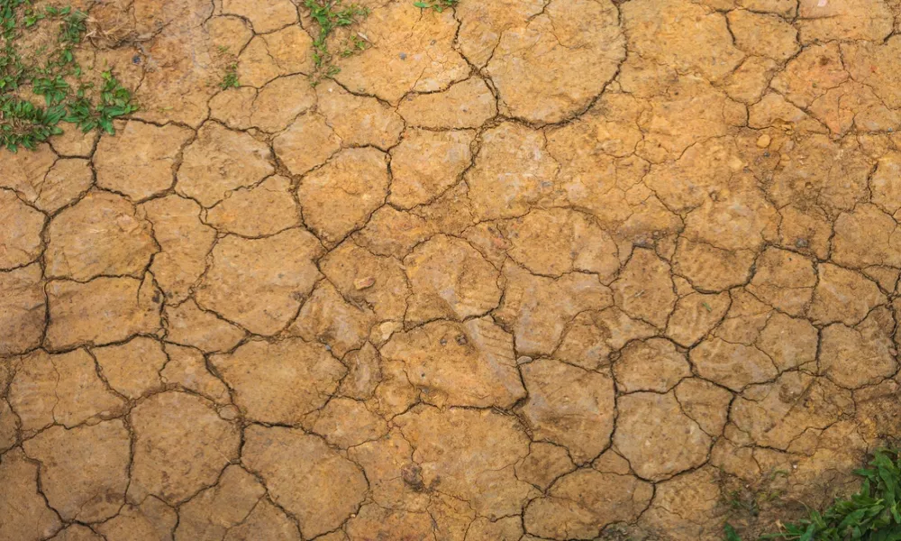
“We are expecting really serious droughts in places such as South America and the western Pacific,” he said.
Temperatures in the region are currently around 2.6°C above a rolling 30-year average, according to the Climate Brink dashboard.
Risks to food security
Scaife stressed that the conditions were expected to persist and should not be viewed as short-term weather changes.
“These are not short-term weather forecasts. We are talking about genuinely long-term, persistent conditions,” said the physicist, who specialises in climate modelling.
“There are known impacts on other systems, such as food and food security.”
The weather pattern is also expected to bring increased rainfall and storms to the UK during the autumn, he added.
Source: CNA/AFP