A weak ridge of high pressure is currently affecting the area, setting the scene for a gradual but noticeable change in the weather as we move into the weekend.
Today, skies will gradually turn mostly cloudy, with isolated showers developing mainly in western and northern areas, as well as over the mountains. Winds will blow south-westerly to north-westerly, initially variable, at around 3 Beaufort, while the sea will remain calm to slightly rough. Temperatures will reach around 16°C inland, 18°C along the coast, and 7°C in the higher mountains.
Tonight, conditions will remain mostly cloudy, with a chance of isolated showers in the west. At the highest peaks of Troodos Mountains, sleet cannot be ruled out. Winds will turn north-westerly to north-easterly, light at 3 Beaufort, and the sea will stay calm to slightly rough. Temperatures will drop to 6°C inland, 9°C on the coast, and close to 1°C in the highest mountains, where local frost is expected.
Weekend outlook: winter makes its presence felt
Saturday will be mostly cloudy, with localised rainfall across the island. Snowfall is expected over the highest peaks of Troodos, mainly during the evening hours.
Sunday brings further isolated showers, particularly in the south-west, along with snowfall in the high mountains. By then, temperatures will have fallen noticeably below average seasonal levels.
On Monday, isolated rain or snow showers may continue in mountainous areas, with no significant change in temperatures, which will remain below normal for this time of year.
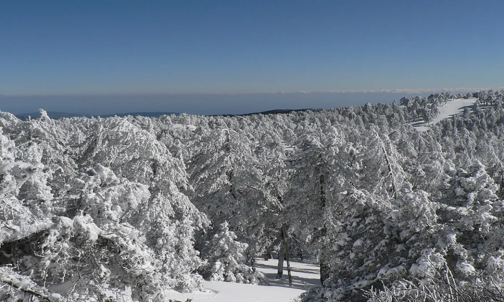
As of the time of the latest bulletin, snow depth at Chionistra stands at 28 centimetres, underlining the distinctly wintry conditions taking hold at higher elevations.
Drivers heading to the mountains and those planning weekend outings are advised to stay informed and take extra care as weather conditions deteriorate.