Weak low pressure is affecting the area for the period from 0600 on April 30 until 0600 on May 1, with further changes expected over the next three days. On Sunday, a low pressure system accompanied by a cold air mass is forecast to influence the region.
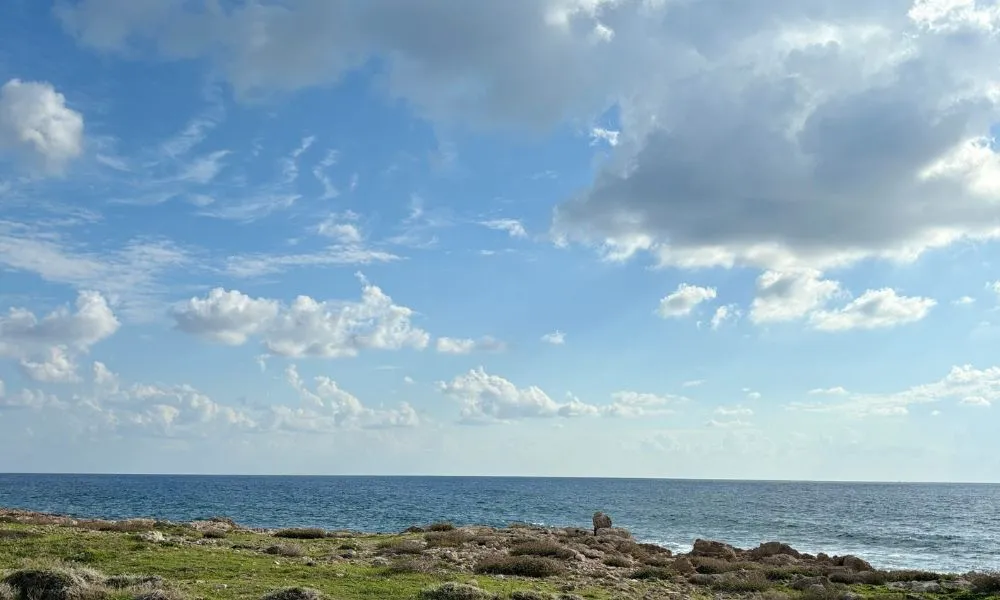
Today, the weather will be mainly clear, although locally increased low cloud or light fog will be observed early on. During the afternoon, increased cloud will develop, with isolated showers possible and a chance of thunderstorms, mainly over mountainous areas. Winds will initially be variable and light at force 3, gradually turning southwest to northwest, generally moderate at force 4. The sea will be slight to moderate. Temperatures will rise to 29 degrees inland, 23 degrees on the west coast, around 25 degrees on the remaining coasts and 18 degrees in the highest mountains.
Tonight, the weather will remain mainly clear, with locally increased low cloud or light fog at times. Winds will be northwest to northeast, and southeast along the northern coast, light at force 3. The sea will be calm to slight. Temperatures will fall to 12 degrees inland, around 14 degrees on the coasts and 8 degrees in the highest mountains.
On Friday, weather conditions will be mainly clear, with locally increased cloud during the afternoon that may give isolated showers, mainly in mountainous areas. Thin dust may be suspended in the atmosphere. Temperatures will remain at similar levels, which are slightly above seasonal averages.
On Saturday, the weather will gradually become mainly cloudy, with intermittent light rain expected, while thunderstorms are possible during the evening, mainly in western and mountainous regions. A slight drop in temperature is expected.
On Sunday, the weather will remain mainly cloudy, with periods of rain and isolated thunderstorms. Temperatures are expected to fall noticeably.