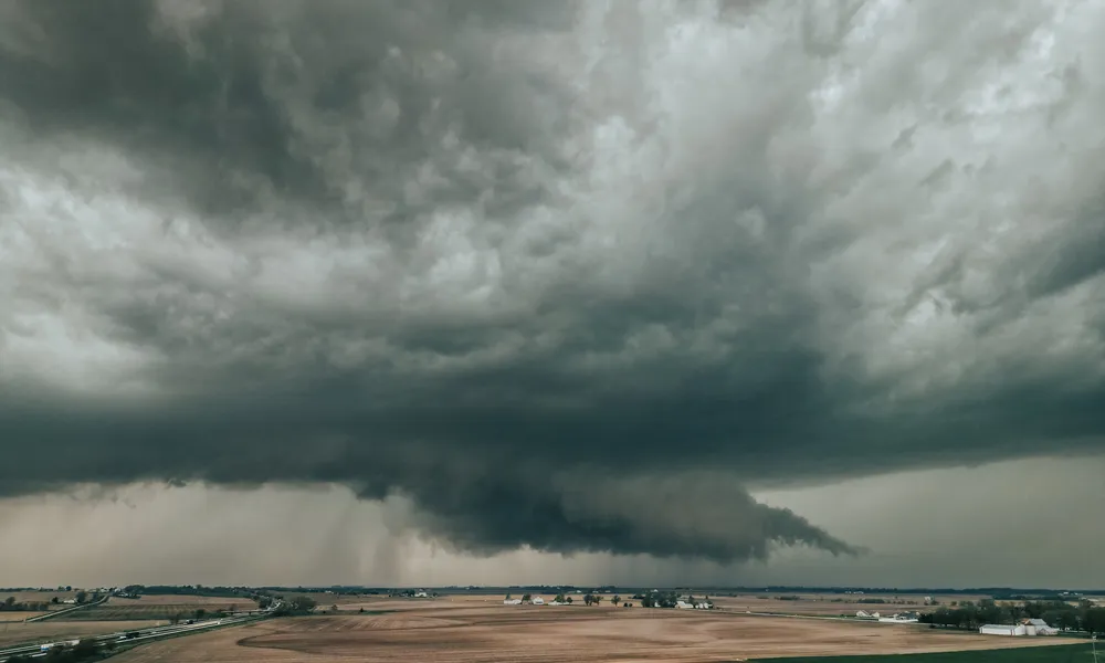
Low pressure and unstable weather conditions continue to affect Cyprus, with a winter-like pattern expected to persist until Thursday. Local showers, isolated thunderstorms and possible hail are forecast in several areas, while snowfall or sleet is expected on the highest peaks of the Troodos mountains. Conditions are expected to improve gradually late on Thursday, with a slight rise in temperatures anticipated on Friday.
Rain, storms and hail expected
On Tuesday, periods of increased cloud cover are expected, initially bringing isolated showers mainly to coastal areas. As the day progresses, particularly from midday onwards, local showers and isolated thunderstorms are likely to develop, especially over mountainous, inland and northern areas. Hail is possible during storms, while snow or sleet is expected on the highest Troodos peaks. Winds will shift from light and variable to mainly south-westerly, reaching 3 to 4 Beaufort. The sea will be calm to slightly rough. Temperatures will reach around 19°C inland and along the coast, and around 7°C in higher mountainous areas.
Cold night with frost in higher areas
Overnight, the weather will remain partly to mostly cloudy, with isolated showers and a chance of thunderstorms, mainly in coastal areas and later in mountainous regions. Hail remains possible during storms, while snow or sleet is expected at higher elevations. In the early morning hours, patchy mist or fog may form in inland and eastern areas. Temperatures will drop to around 6°C inland, 10°C on the coast and close to 1°C in higher mountainous areas, where frost is expected locally.
Gradual improvement by Thursday
On Wednesday, conditions will remain unsettled, with increasing cloud cover bringing local showers and isolated thunderstorms, mainly in mountainous, inland and northern areas. On Thursday, the weather will be partly cloudy at times, with isolated showers or thunderstorms, particularly from midday onwards. Conditions are expected to improve later in the afternoon. Friday will bring intervals of increased cloud cover and stronger westerly winds.
Temperatures are expected to remain slightly below seasonal averages until Thursday, before a modest increase on Friday. Snow depth at Troodos Square was recorded at 25 centimetres at the time of the latest bulletin.